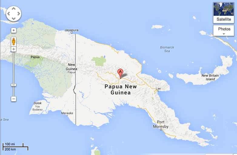
Where is Aipo Rongo, Papua New Guinea?
I had to go to Wikipedia for this one; the Anglican communion is praying today for the diocese of Aipo Rongo, in Papua New Guinea. When I went to Google Maps, it didn’t have any references to it, but Wikipedia was able to help me. Papua New Guinea is divided into four dioceses, and Aipo Rongo is centered in Mount Hagen.
David, and Where is Yambio, South Sudan?
A year ago, we had an extraordinary experience. We often entertain delegates visiting from other countries, and this time we had three African journalists, and, strictly by chance, they all turned out to be Christian. Most of our gatherings are strictly ecumenical, but these were joyful, praying Christians, and the evening took a turn we never anticipated.
“So how did you find Jesus?” one woman asked David, from the newest country in the world, South Sudan. Inside, I was shocked, and when I am shocked, my tendency is to laugh, I don’t know why, it is just the way I am wired. Every culture is so different. In the South, people might ask that of one another, particularly if you worship in a fundamental sect, but our sect is more formal, and to inquire into another’s spiritual life can be perceived as intrusive.
David, however, was not taken aback. “It’s a long story,” he said, and we all settled into comfortable chairs to listen better. It was Christmas, the decorations were up, the lights all twinkling and we had eaten. A good time for a story.
It was a long story. It started with a little boy in a happy family, who one day was told to run! Run! Run into the forest and hide! The riders were coming! His family grabbed a very few things and ran.
His family ran for years. His family ran into forests, across borders, into dry arid spaces. Sometimes some of the children would get separated from their parents for a while, but they would keep asking, and eventually meet up again, only to face separation again. Their whole lives were running, from the Janjaween, from border police, from robbers.
At one point, he and a brother stayed in a church, and a priest taught them about Jesus. Simple stories, simple songs, and he drew letters and numbers in the dirt – that was his early schooling. It was a haven of peace for him.
Many years later, the family was reunited in their village in the new country of South Sudan. Miraculously, every member of his family survived, indeed, most of his village survived. They had maintained lines of communication through all those years of running and separation, and were so thankful. Most of all, now, they were thankful – they had a church in their village. David had learned to love learning, and had completed his education and had found a wonderful job.
“I don’t know the book like you do,” he told us, “I only know it like a little child sitting at the feet of that priest, but I am learning.”
I can’t help but think that David knows more than he thinks. David holds his belief in Jesus like a child, simple and direct. His testimony is powerful and unforgettable. I am in awe, even a year later, of his story and testimony.
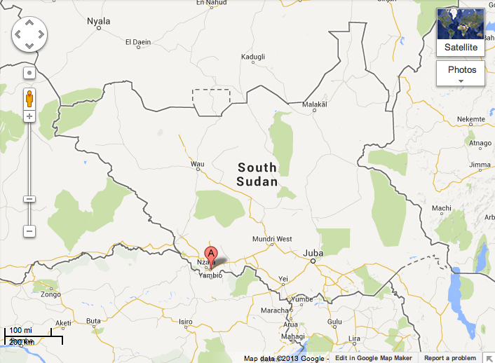
Today the church prays for the diocese of Yambio, in the South Sudan:
Where Are the Windward Islands?
Today the church prays for the diocese of the Windward Island, West Indies. Do you know where the Windward Islands are? I’m familiar with the term, but I never knew which islands they were:
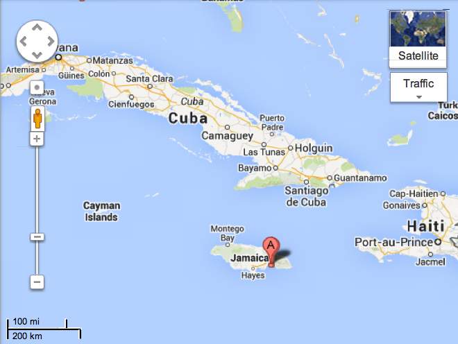
IInterestingly, if you just type in Windward Islands, and not West Indies, you get this:

That could be confusing, like if you were one of the early explorers and traveling with a group of ships and the leader said “If we get separated, we’ll all rendezvous at the Windward Islands” and then one ship might end up at one island and one ship at another . . .
Or there is always the possibility that Windward Islands isn’t specific, but something that designates where serious winds hit first . . .

“Death Knell for OPEC?”
From AOL News – although this is not really news, announcements have been out there for a while.
Massive Oil Discovery Is Deathblow For Saudis
It’s the biggest find in 50 years and the media is completely ignoring it…
It is 6 times larger than the Bakken, 17 times the size of the Marcellus formation, and 80 times larger than the Eagle Ford shale.
All told the recent discovery outside a sleepy Australian town contains more black gold than in all of Iran, Iraq, Canada, or Venezuela.
The current estimates of 233 billion barrels are just 30 billion barrels shy of the estimated reserves in all of Saudi Arabia.
Now, one renowned international energy expert predicts the proven reserves will be much bigger.
“The find may land at 300 or 400 billion barrels, making it one of the greatest unconventional oil discoveries any of us will see in our lifetimes,” says Dr. Kent Moors and advisor to six of the top 10 oil producers and active consultant to 20 world governments.
“It represents a bona-fide redrawing of the global energy map as we know it,” Moors says, “and the mainstream media is completely ignoring it.”
Editor’s Note: Experts value this find at over $20 trillion. To see the one stock that will deliver a record payday, go here.
Where the Hell is Coober Pedy?
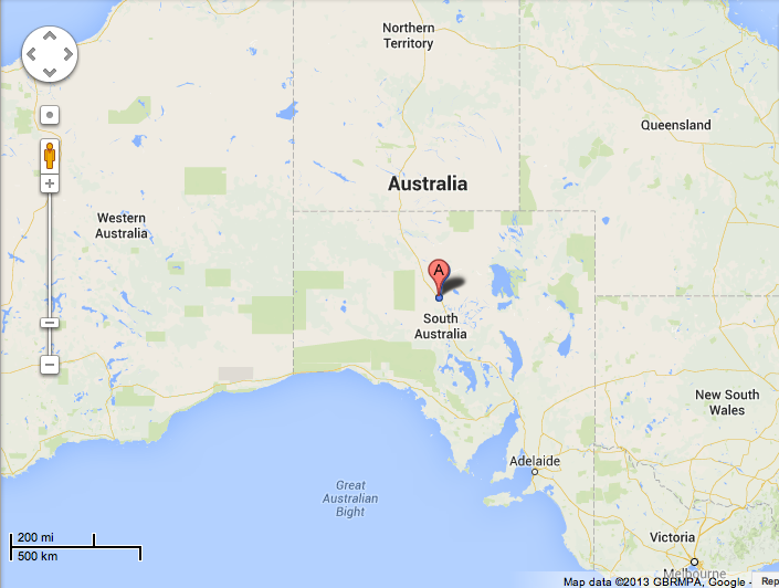
To the people who call this place home, the oncoming oil boom means nothing will ever be the same ($20 trillion worth of oil can do that to a town).
The boom is centered around a place called Coober Pedy, an inhospitable speck on the map in Southern Australia.
The big draw is the riches found in the region’s vast geological structure, the Arckaringa basin.
Encompassing an area in excess of 30,000 square miles, what’s buried within the basin is enough black gold to completely change the global oil landscape-not to mention the lives of early investors.
Analysts believe this is equivalent to investing in Saudi Arabia in the early 1950’s.
And according to this inner circle briefing by Dr. Moors, one little company controls the whole thing.
Editor’s Note: This is the biggest find in 50 years and it will create unheard of fortunes for investors who act now. Watch this unbelievable video to learn more.

The Death Knell for OPEC
This massive find has been likened to the Bakken and Eagle Ford shale oil projects in the U.S., which have created legitimate boom times in Texas and North Dakota.
Even at the lowest estimate, Coober Pedy is set to make Australia a net oil exporter; at the higher estimate, Australia would become one of the world’s biggest oil exporters.
“What we’re seeing up there is a very, very big deposit,” says South Australia’s mining minister, Tom Koutsantonis, “This is a key part to securing Australia’s energy security now and into the future.”
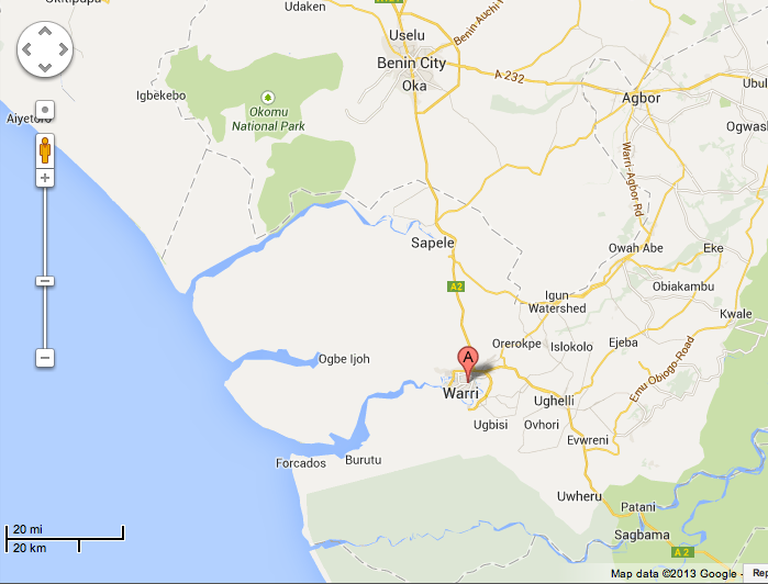
Where is Umzimvubu, South Africa?
Today we pray for the Diocese of Umzimvubu, in South Africa:

Matthew 5: 44-46
|
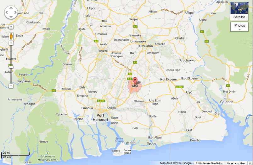
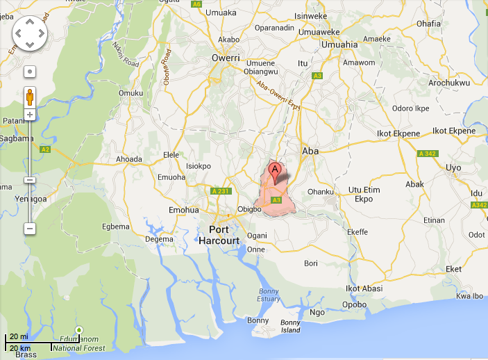
Where Are Dioceses of Ukwa and Umuahia (Aba, Nigeria)?
Every day our church prays for a different part of the world. Today it is Ukwa and Umuahia in Aba, Nigeria. I had to look it up:
“You Look Like a Happy Woman” on the M/V Kennicott
One of the birders approached me.
“I’ve been watching you. You always have a smile on your face. You watch the scenery and smile, and you look like a happy woman.”
“I am. I am really happy to be here.”
I do like living in Pensacola, I love being near our son and his wife and our two adorable grandchildren, but oh, this is where I was born. The sea is part of my blood, the piney clean smell of the Alaskan air, the clothes – jeans and something warm – this is how I grew up, this is how I am comfortable. I am. I am a happy woman.
Here are some photos from this first day on board the M/V Kennicott:
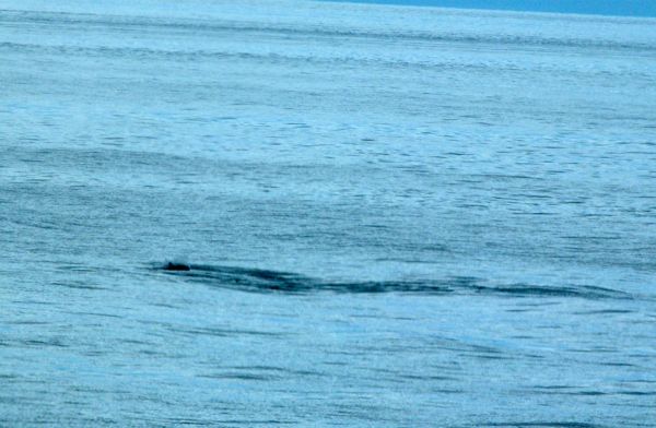
Humpback whales!
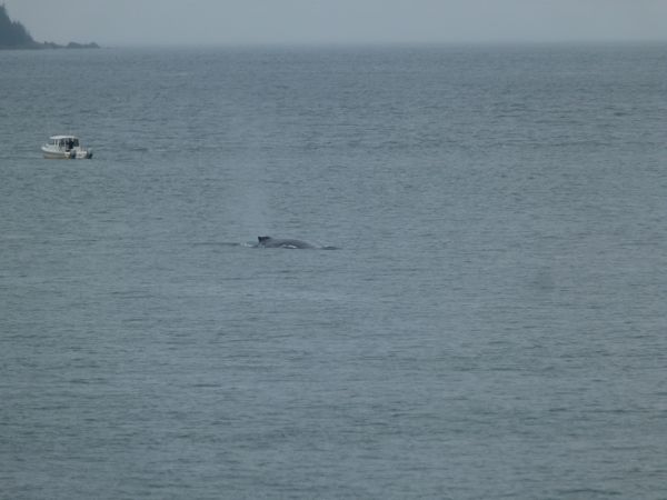
View from our cabin

I couldn’t figure out what this is, or if it is one creature, like a whale, or two, like a dolphin. We often saw things and had to try to puzzle out what we were seeing.

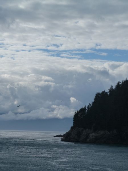

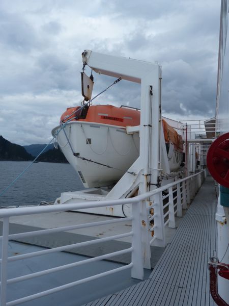

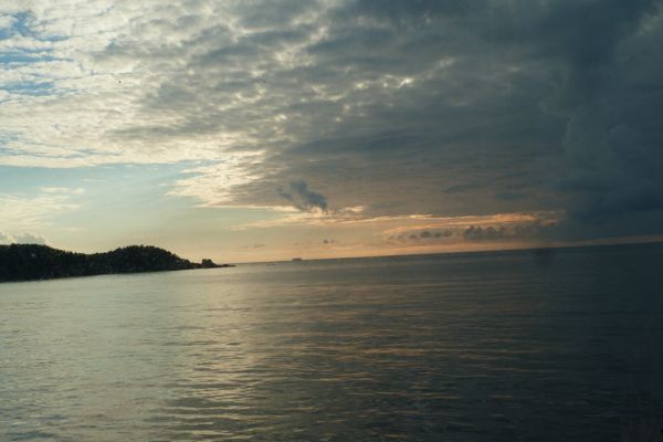
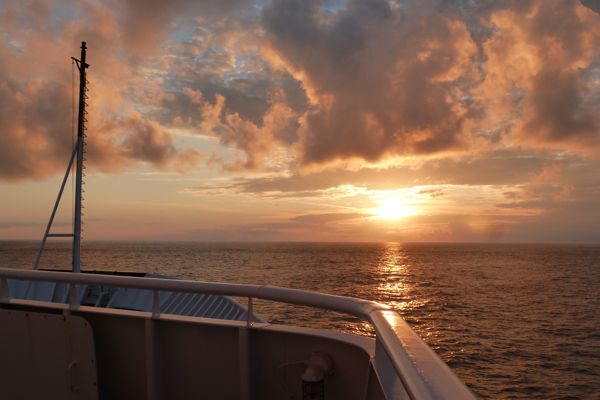
I mentioned before, the shock of discovering that the M/V Kennicott would not be wired for internet. It was equally shocking that it did not have a tower for cell phone coverage, or however that is done. Ferries in Seattle, just little commuter ferries, they’re wired! WiFi is everywhere. Really, I guess I am mad at myself for thinking all Alaska would also be wired; I just projected my own prejudices and got trapped in them.
But my compass on my iPhone worked, and as you know, I am also a map person. As we were to be heading out into the Gulf of Alaska (which would be North) my compass was reading South, and the afternoon sun was also on the wrong side of the boat. “Do you know where we are?” I asked a guy who looked like he would know as we picked up dinner. “We are going backwards!” he almost shouted! “We are ahead of schedule, so the pilot is giving an apprentice from Michigan a lesson in pilotage!”
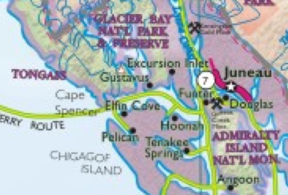
We were headed into an inlet that kept getting narrower, and narrower, and when we came to a village, Pelican, the ferry turned around and headed back where we had been coming from. I had wanted to see the mouth of Glacier Bay, but I never saw anything that looked anything like it, not until the return trip. We had some late day fog, so maybe the entrance and glaciers were shrouded. On the way back, we saw so many glaciers that at some point, I can’t even believe I am saying this, it was like “oh yeh, another glacier.”

The green line is more or less the route we took from Juneau to Yakutat to Whittier to Chenega Bay, to Kodiak Island and to Homer – and then back. The first day out, if you look at Juneau, near the mouth to the Gulf of Alaska you will see off to the left a narrow inlet down Chicagof Island to Pelican. That was the side trip we took on our first evening on the M/V Kennicott.
Recent Comments
intlxpatr on Shampoo Ginger tigerbutterya0c5ff1d… on Shampoo Ginger intlxpatr on British Soldier Kidnapped, Esc… John on British Soldier Kidnapped, Esc… intlxpatr on British Soldier Kidnapped, Esc… Wikipedia Donate Button

Amazina


Early Voting in Florida


