Whittier and Chenega Bay on the M/V Kennicott
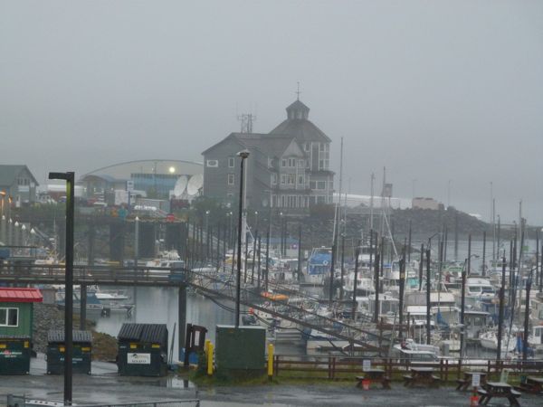
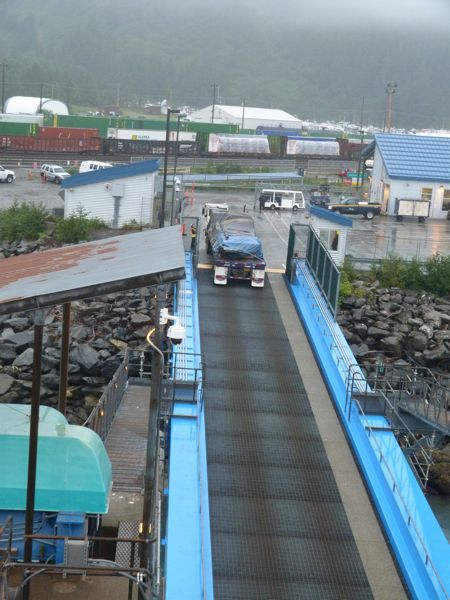
Today we awoke in Whittier, a major shipping hub into the interior of Alaska,
and a connector to Anchorage. Although the town has only a population around
500, it is a very busy little port, acres of shipping containers, miles and
miles of train tracks, and trains coming in and out every few minutes.
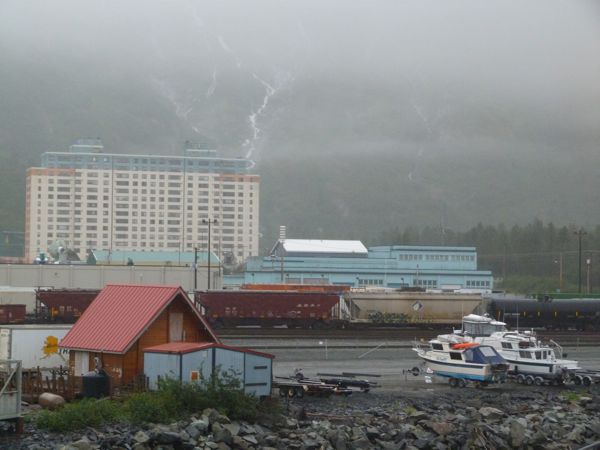


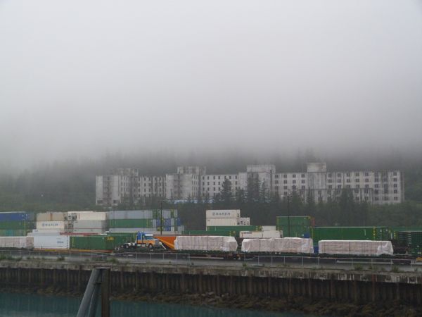
There is an old government building, it looks like something the Soviets built.
It is huge, and was damaged by a bad earthquake several years ago so it has been condemned as unusable, but would be so expensive to destroy that they haven’t torn it down yet. It has become a sort of cult place, a favorite for raves and spontaneous parties, young people camp there. It is rumored to be haunted, which only makes it more alluring. No matter how secure they try to make the building, someone finds a way in.
There is some confusion in my mind about arrivals and departures – they are not
the same as the list I so carefully printed off from the website. If I had known we would be in Whittier until 10:30 we would have debarked, which we are allowed to do if we have tickets and ID to get back on. My little calendar showed a 0800 departure, so we waited, and waited – but the ferries make their own rules, according to weather and tides and what they are porting from one seaside village to another. We watched containers full of goods come on for the more remote locations.
I used to surprise my Kuwait friends, telling them it was a lot like Alaska, and the longer I am back here, the more parallels I see. One is that almost
everything you eat or wear or build with has to come from somewhere else. That
requires shipping, or flying something in. I remember my Mother used to order
our snow suits in August, so they would arrive before the ships stopped coming
in. Like Kuwait, groceries are expensive, especially specialty items that are
imported. Like Kuwait, people are dressed modestly, all the important parts
covered – it’s cold! Most women are covered from their toes to their wrists! If
the weather is bad enough, even their hair is covered, and occasionally their
faces! Men, too! Very modest people, these Alaskans 🙂
AdventureMan wanted to take a shower, but the ferry system asks that we not
shower while in port; they like not to dump waste water in port, so as soon as
we departed, he jumped in the nice warm shower. Once again, almost all we can
see is open water, en route to Chenega Bay, and fog.


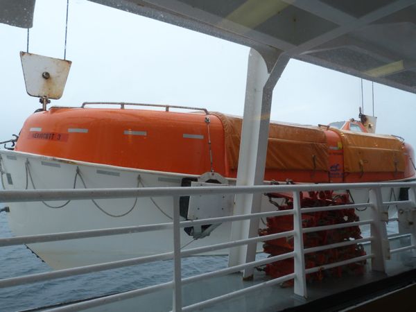
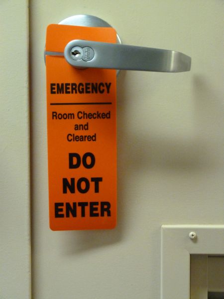
During the trip to Chenega Bay, the big excitement is the once-a-week fire drill, and this time, the fire was near our cabin (pretend fire.) I am guessing some people would rather ignore the fire drills, but think about it – aren’t you glad the crew goes through these exercises in case there is some emergency? Aren’t you glad they know what to do? One of the guys laughed and said “We get a lot of respect and people step aside when they see us carrying these fire extinguishers!” The purser told me that sometimes people STEAL the signs they put on doors – imagine!
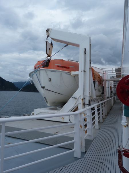
Lifeboat being lowered:
Do Not Enter tag on our door:
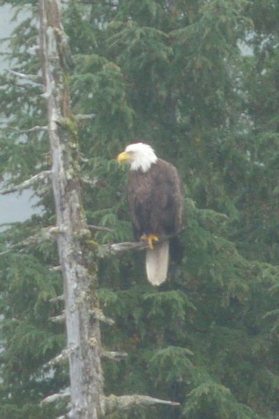
Chenega Bay – We arrive, foggy but no rain, to find an eagle perched in nearby tree, welcoming us.

Very short turn around time shown, so once again, we do not leave the ship, but wish we had when departure time is postponed. The dock is not near anything, but a short walk over the hill takes you to the small village of Chinega Bay and a beautiful Russian Orthodox Church and an Alaska Native arts museum named after fisherman Johnny Totenoff.
What love what happens here – this village of only maybe 50 people are welcomed on board whenever the ferry docks. They are isolated, remote. The men, women and children ride their ATV’s down the hill to the ferry, come aboard, and chow down on hamburgers, fries, and soft ice cream cones. Some of the young girls are dressed in long dresses, sort of odd, maybe a religious group. Others are wearing short short skirts and tank tops in the cool, foggy weather. Before the ferry departs, the Chenega Bay residents all have to debark.
Departing Chenega Bay:

Beginning to see snow peaked mountains en route to Kodiak Island

To Yakutat on the M/V Kennicott
Groan, docked at Yakutat early. Although we slept well, we are not eager to
debark at 0600, so we stay on the boat, which is a really fun decision.
AdventureMan discovers the upper aft viewing deck, inside and outside, and we
watch a fishing boat come in, the fisherman scurry up the slippery ladder, the
small tractors set up a weighing station and watch the fisherman upload his
morning’s catch, and see it graded, weighed and sorted all in a matter of
minutes. Three huge loads! It’s a hard life, being a fisherman, a lot of heavy
lifting and working in the rain and stormy weather. 


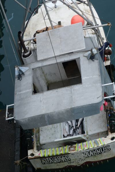

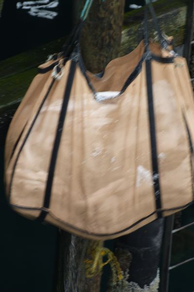


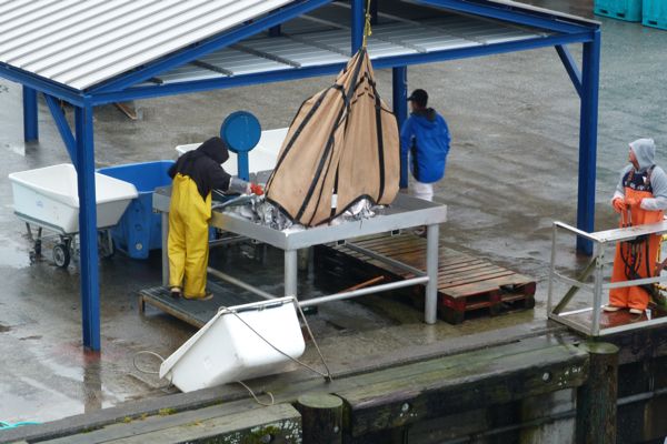
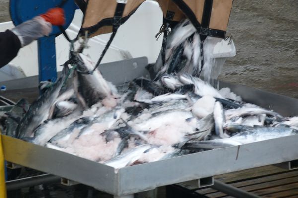

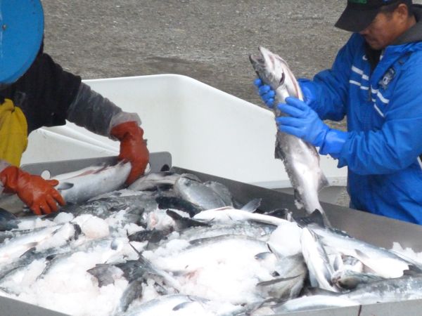
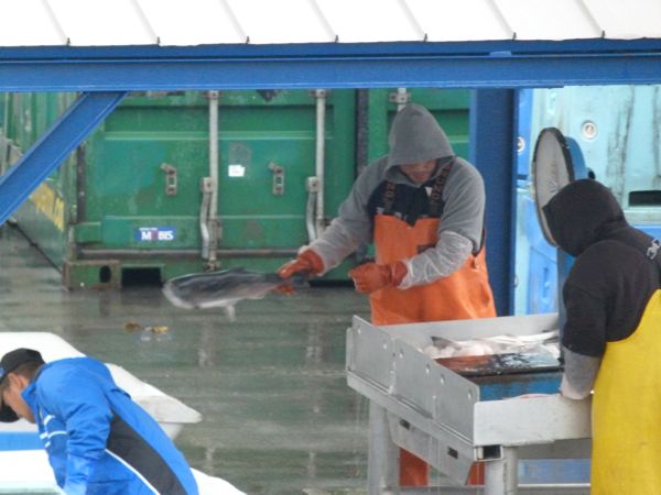
Yakutat is a small town, a fisherman’s town. Departing Yakutat:
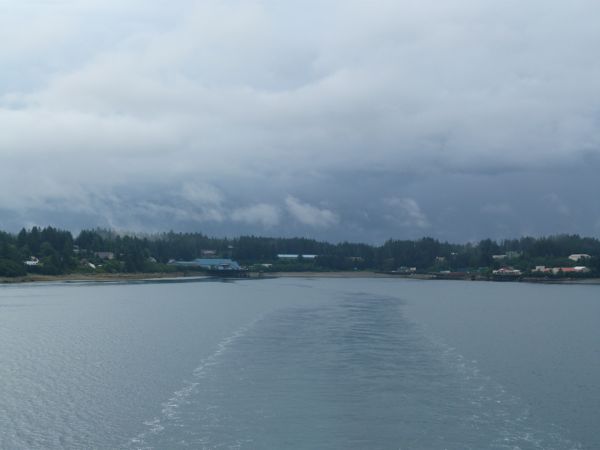
The rest of the day we are out in open water, and it is grey, grey, grey. I have to give the birders a lot of creds; they are manning the observation post in the bow and there are never fewer than three, with their bird spotting scopes.

We spend the afternoon alternately reading and walking all the decks to see if
we are missing anything. We are not. It is a dull day, not unlike many travel
days, the difference being that we have a nice private cabin where we can hang
out, re-charge our camera batteries, our phones, our iPad. It’s a good thing we
have the iPad, I can read, I can play Sudoku. I iPad allows me to
take notes (this was actually a note) because THERE IS NO WI-FI onboard. I am so shocked, I pretend to be cool about it but inside I am sort of freaking out. I just assumed there would be wi-fi everywhere. I was wrong.
AdventureMan, ever the gentleman, volunteered to take the upper bunk, but I
insisted. I am nimble on ladders, and I like being able to perch up here in my
lair and look out our window. I saw more Orcas playing the first day, and can
keep an eye out for when the sky lightens and the sun makes an appearance. Local weather people actually call these “sunbreaks.”

The cabin also has a generous supply of outlets – each bunk lamp in the cabin has an outlet plug, and then there are two other convenient double sockets.
We reserved a 4-bed with bath because we wanted an outside room – and because we like the convenience of having our own bathrooms. The two unused bunks are
stowed, and we have a large lounge chair, a table, and another chair. The toilet and shower are in a cabinet – lots of nice, hot water – and there is a sink outside the cabinet, with a mirror and another outlet, and separate overhead light. Very convenient, and it feels very roomy.
Years ago when I was off to college, the airlines were on strike and I had to
take the military ship Rose from Bremerhaven to the US and then fly Air Canada
to my university town. Just imagine – a military transport ship full of college
students. It was truly a wonderful time. I told AdventureMan this morning that I remember keeping my suitcase up in my bunk, and dressing up there as we only had like 14 inches between left side bunks and right side bunks, and with four
college girls, that wasn’t much. I can’t remember, but I don’t think we had our own toilet and shower, I think we had to use group ones. This cabin is about 8 feet across and 12 feet long, with the shower and toilet cabinet about 2.5 by 6 feet. It is tiny, but it works. We have a rack of hanging 32 hanging hooks, which might sound like a lot, but you use a lot of different outdoor clothing, layers of clothing; long sleeved shirts, hoodies, rain-gear, fleece, sweatshirts – the weather changes, you can be warm – but soaked.
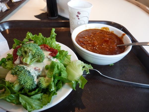
Lunch is warming and healthy:
“You Look Like a Happy Woman” on the M/V Kennicott
One of the birders approached me.
“I’ve been watching you. You always have a smile on your face. You watch the scenery and smile, and you look like a happy woman.”
“I am. I am really happy to be here.”
I do like living in Pensacola, I love being near our son and his wife and our two adorable grandchildren, but oh, this is where I was born. The sea is part of my blood, the piney clean smell of the Alaskan air, the clothes – jeans and something warm – this is how I grew up, this is how I am comfortable. I am. I am a happy woman.
Here are some photos from this first day on board the M/V Kennicott:
Humpback whales!
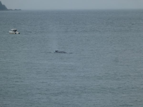
View from our cabin

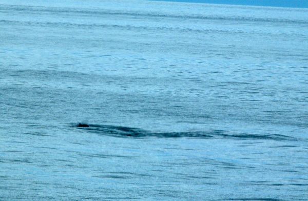
I couldn’t figure out what this is, or if it is one creature, like a whale, or two, like a dolphin. We often saw things and had to try to puzzle out what we were seeing.

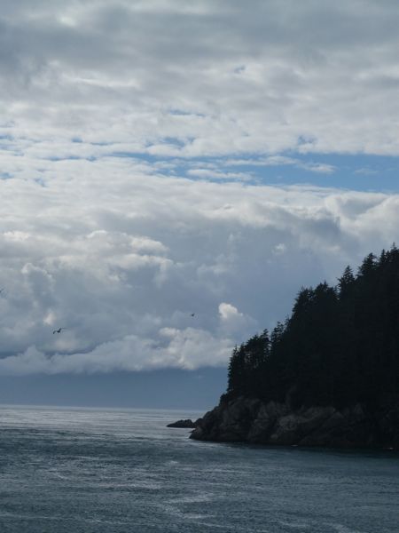


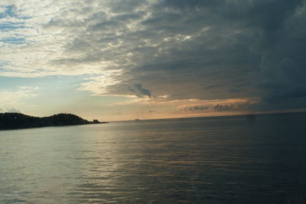
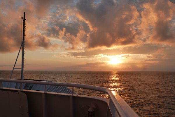
I mentioned before, the shock of discovering that the M/V Kennicott would not be wired for internet. It was equally shocking that it did not have a tower for cell phone coverage, or however that is done. Ferries in Seattle, just little commuter ferries, they’re wired! WiFi is everywhere. Really, I guess I am mad at myself for thinking all Alaska would also be wired; I just projected my own prejudices and got trapped in them.
But my compass on my iPhone worked, and as you know, I am also a map person. As we were to be heading out into the Gulf of Alaska (which would be North) my compass was reading South, and the afternoon sun was also on the wrong side of the boat. “Do you know where we are?” I asked a guy who looked like he would know as we picked up dinner. “We are going backwards!” he almost shouted! “We are ahead of schedule, so the pilot is giving an apprentice from Michigan a lesson in pilotage!”
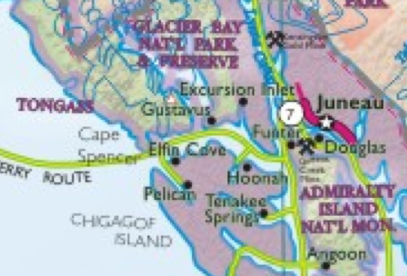
We were headed into an inlet that kept getting narrower, and narrower, and when we came to a village, Pelican, the ferry turned around and headed back where we had been coming from. I had wanted to see the mouth of Glacier Bay, but I never saw anything that looked anything like it, not until the return trip. We had some late day fog, so maybe the entrance and glaciers were shrouded. On the way back, we saw so many glaciers that at some point, I can’t even believe I am saying this, it was like “oh yeh, another glacier.”

The green line is more or less the route we took from Juneau to Yakutat to Whittier to Chenega Bay, to Kodiak Island and to Homer – and then back. The first day out, if you look at Juneau, near the mouth to the Gulf of Alaska you will see off to the left a narrow inlet down Chicagof Island to Pelican. That was the side trip we took on our first evening on the M/V Kennicott.
A Trip “Out the Road” to Eagle River
One of the things AdventureMan and I did in Juneau was to drive every road. It’s not hard. You drive all the way south, and all the way north on Douglas Island, then you drive out to Thane, then on the Juneau roads, up behind in the basin, and then “out the road.” Everyone in Juneau knows where “out the road” is.
When I was a kid, the road got bad just past the airport, on the way to Skater’s Cabin, which I thought was on Auke Lake, but discovered is really on Mendenhall Lake.
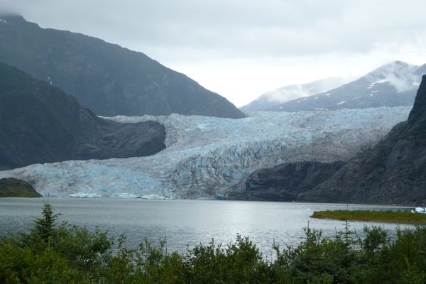
You had to go out the road to get to the airport. You still do, but it is only like six minutes, the road is so good, unless you hit a deer (which we saw happen) and have to stop and call Fish and Wildlife Rescue. You can’t leave an injured animal on the highway.
So we have a morning, and it is not raining! The sun is even peeking out now and then! It’s a beautiful day, we dress warmly and head out the road, out driving all the roads. Look closely, and you will even see blue sky in the photos 🙂 We drive the Lena Point road, looking at all the cabins where we used to go picnicing, then to Amalga Bay, with it’s beautiful still lake and reflections.
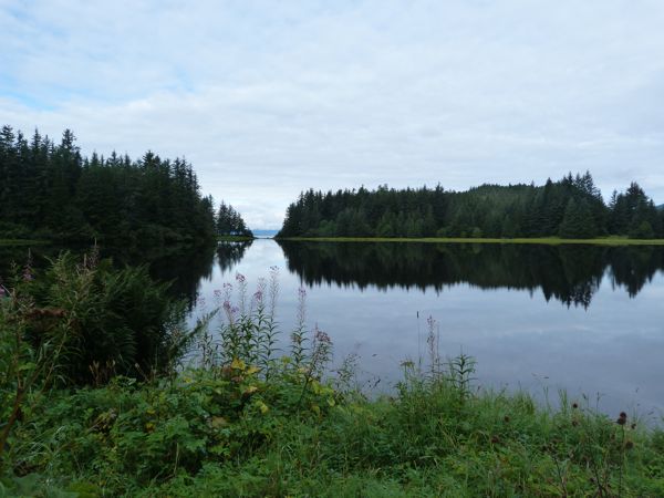
You’re just going to have to bear with me as I show you photos with a lot of green in them. It’s not that Pensacola doesn’t have green, but it doesn’t have Alaska greens. I remember in Germany, a long time ago, years ago, having a discussion with AdventureMan about how many different shades of green there are, and ever since then, he has reminded me of that conversation. This year, on this trip, he said “Now I know why you are so sensitive to greens!” Alaska is full of greens, and mostly they are blue greens, and oh, I love the spectrum of blue-greens. 🙂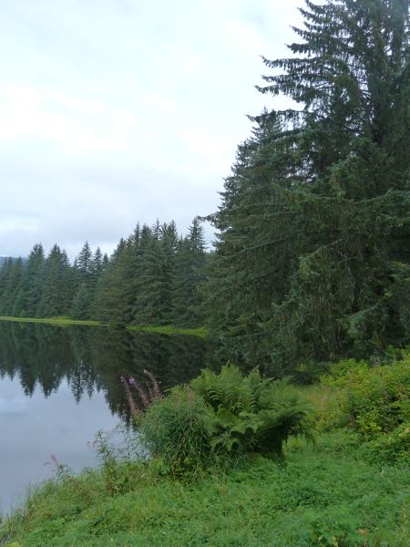
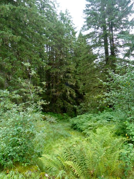
As we approached the end of the road, there was heavy road construction going on. Winter is coming, to quote Game of Thrones, and in Alaska that means a short window for all the road reparations that can happen as a result of brutal, icy, rainy, snowy winters. The construction traffic controllers told us it would be about twenty minutes before the pilot car would be back to lead the next line of cars over the broken, rocky, off-road paths, and we decided, in our little 2 wheel drive rental, that we would forego that pleasure. We headed back for Eagle River Picnic Grounds, which were beautiful and serene:
This is one of the covered picnic cabins, heavy duty timber

You can see one of the ferries departing nearby Auke Bay from the ferry terminal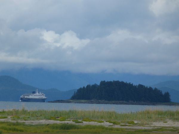

We head on a little further to the Eagle River Camp Grounds. We are in love! This place is beautiful, with hidden campsites with cabins and campsites for RV’s, but all hidden from sight. No indoor plumbing, but the public restrooms are clean and well kept. You can hike around, there are many trails.
Salmon spawning in the stream – the ranger tells us a mother bear and her two cubs were by earlier, but we missed them. You can smell all the rotting salmon on the banks and know that the bear are eating well.
An old dock, long gone, from Eagle River – and look at all those beautiful greens in the background 🙂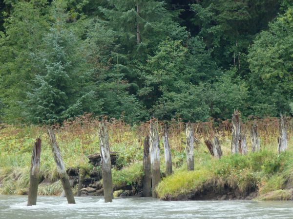
Seagulls feasting on salmon the bears left behind. Bears are not very efficient eaters; they strip parts of the salmon and leave a whole lot:
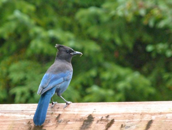
A Stellar’s Jay, the kind I grew up with. The Jays in Pensacola are more white with blue markings and much bigger. But look at the blues on his feathers, so intense, so radiant!
We love Eagle River campsites so much you will see more on our way back out through Juneau 🙂

Police Know Where We Are and Where We Go
This is not good news for people who don’t want other people knowing where they have been. I don’t see how it’s any different from cameras in big cities that are used by the police to see what cars went through at a time of a crime, for example. If you don’t have anything to hide, is this invasive? Where property crimes are increasing, where there is an increase in violent crime or assaults, these re tools to keep the majority of the population safer from the predators – in my opinion. Can you change my mind?

From AOL Auto News:
Police License Plate Scanners Record Driver’s Locations
Unregulated cameras store information indefinitely
Government surveillance isn’t just in our phone records and search engine history, but on our roads as well.
That’s what the Center For Investigative Reporting found when researching the small cameras popping up on police cars across the country known as license plate scanners. License plate scanners allow police officers to quickly scan thousands of license plates a day, looking for runaway criminals or stolen cars. In California there are very few limits on these readers and almost no transparency. These cameras record time and place of your vehicle, and even can store a picture record of your whereabouts.
Michael Katz-Lacabe, a security consultant, requested the records from the San Leandro, Calif., police department of every time his car was scanned. He was amazed at the frightening amount of information police had recorded. His two cars were scanned 112 times since 2009, and average of about twice a week. There was even a picture of him and his two daughters getting out of his Toyota Prius in their driveway.
The Center For Investigative Reporting points out that the use of license plate scanners has been growing quickly and quietly across the country. Read their fascinating story here to learn more.
Foggy Sunset Over the Bayou
It’s been strange weather for January – today was in the 70’s and humid. We had a lot of rain last night and more forecast for tonight, with some bright weather in between.
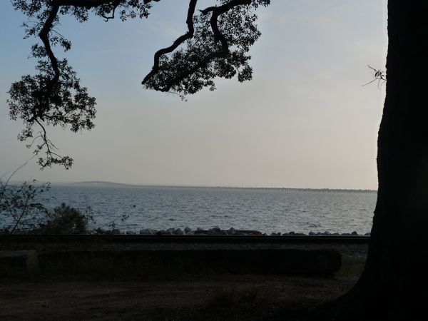
On my way home from a meeting, the light was strange and yellow. I drove along the bayou and found some atmospheric January light:


Epiphany and The Star of the East at Christ Church in Pensacola
“Pay attention!” AdventureMan nudged me, hard. I was trying to find the Star of the East that Father Neal Goldsborough had just pointed out on our Christ Church dome, but I couldn’t find it. And I WAS listening, I was paying attention, I just also wanted to see the star, the special star on our dome, signifying the star that the wise men followed to find the child Christ.
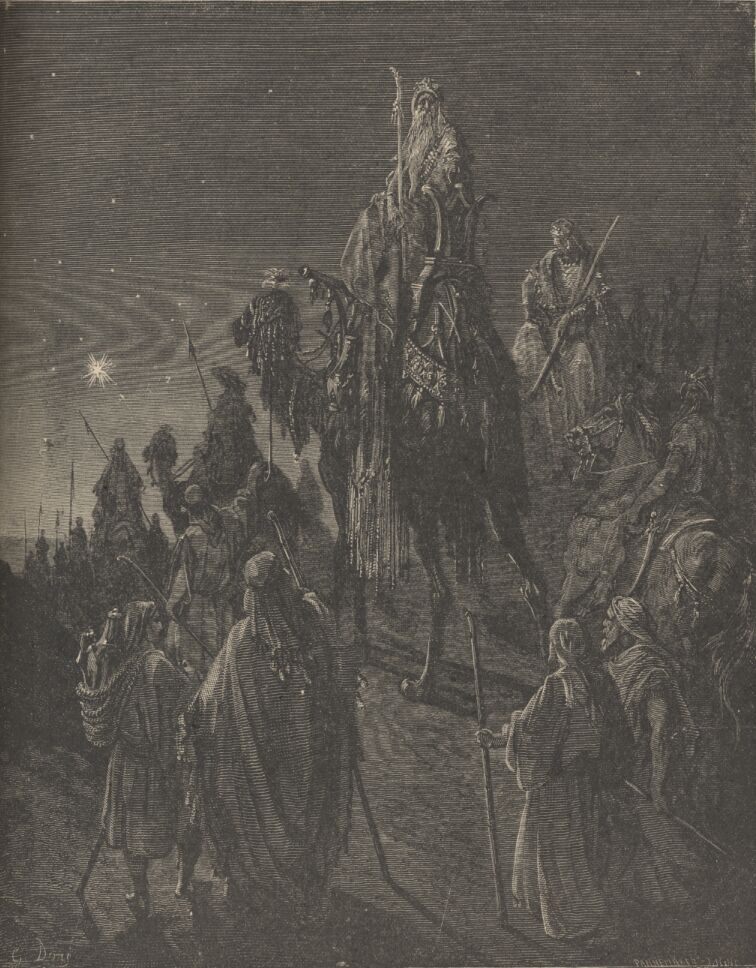
I see a lot of other heads swiveled to look up, searching the dome for that special star. It’s one of my favorite feasts of the year, Epiphany; I can hear those camels grumbling and sputtering as they clop across the hard roads, I can feel the bite of the cold in the deserts (yes, in the winter deserts can be bone-freezing cold), and I can imagine the wise man consulting as to exactly where that star is leading.
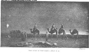
Later after the service, a kind Christ Church parishoner shows us where the star is – painted with more gold, shining brightly just over the horizon in the dome of Christ Church. It is beautiful, subtle, and it makes me happy to know that one star is special.
In this photo, you can see the hanging lamp that obscured my view of the star during the sermon, and you can see a slightly brighter star in the center of the lower dome:

A little closer, and the star shines even more brightly:

Sunset at the End of the Year
I saved these for the last, for the last day of the year (where did it GO ??????) because I love sunsets even more than I love sunrises 🙂 No, these are not taken over the Arabian Gulf, but over the Wakulla Springs, as the sun sets in the cold dark days of winter time:
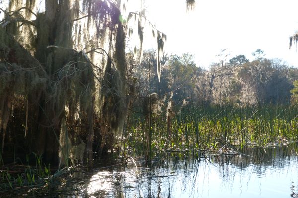


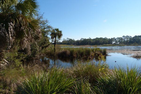
Birding at St. Mark’s National Wildlife Refuge

Some mornings, I am astonished at how wonderful it is to live in a place where we have the luxury to set aside wide tracts of lands to preserve our natural heritage. St. Mark’s National Wildlife Refuge evokes that response in me. It’s even more astonishing that because a couple years ago I bought a lifetime Senior Pass, getting into the national parks is free – for the rest of my life. What a great country we live in. 🙂
It is a cold and frosty morning as we load up to head out to St. Marks for some serious bird watching and photographing. Serious, that is, for AdventureMan, who actually does birding trips with other serious birders. I am a bird-appreciator, as in I know what a cardinal is, and a blue jay. I can pretty well recognize a buzzard. Hey, show me a painting and I can probably tell you who painted it, but birds . . . not so much.

I love being outdoors in Florida on a wonderful clear cool day with fabulous conditions for taking photos. I love just wandering along some of the birding trails and seeing what we can see. It’s an amazing place; in some of the areas where we stopped to wander, it reminded me of places we like to go in Africa, of Zambia, of Namibia, of Botswana . . . some of the habitat is so alike, I can almost hear those tectonic plates creaking apart, drifting, and wonder how much of the flora is directly related to African flora.
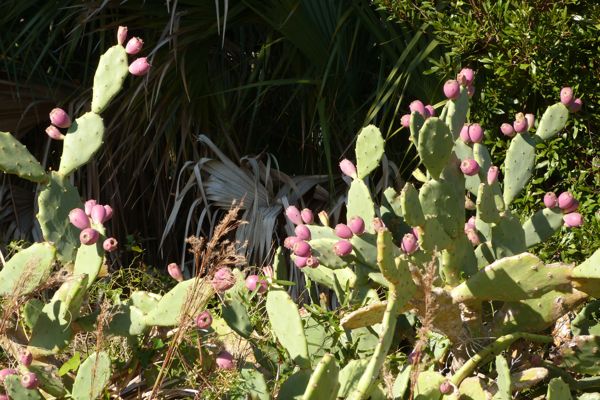
We had these in Tunisia; we called them Prickly Pear, and the Tunisians used them for borders to separate their lands. They also made jam with the prickly pears, and they skinned the leaves and fried up the meat from inside the thick prickly pear leaves. I think what a great border they would make in Pensacola, but a very unfriendly border. Good for keeping away thieves and burglers, but not very attractive, and not very welcoming . . . but very very African:
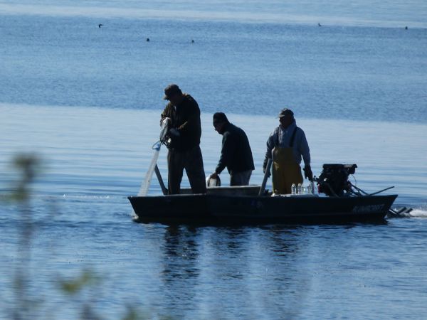
Some fishermen, probably setting some crab traps near the shore:

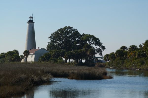
The St. Mark’s lighthouse:


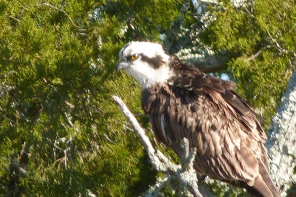

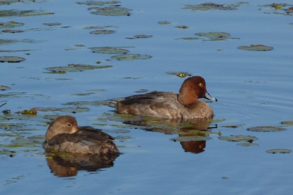


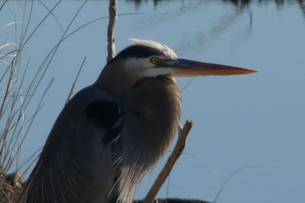
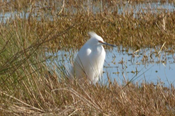
Every now and then you have a lucky moment, and I happened to shoot this heron just as he had a wiggling sparkly fish in his beak, just before he swallowed it. I admit it, I wasn’t trying. If I had been trying, I could never have gotten it just at the right moment:


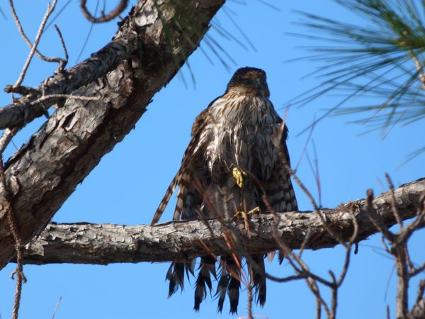
Some very clever park person went around and made all the deer crossing signs into Rudolph signs, LOL!

The park is full of very serious-faced people carrying HUGE lenses on cameras attached to seriously sturdy tripods, lenses meant to capture the details of the pinfeathers, cameras to document a rare sighting. These people don’t talk about ducks, they talk about Merganzers and Koots, and the rarely seen such-and-such, and I just listen and keep my mouth shut while my head spins.
For me, it’s enough to see these wonderful creatures, free of fear, safe in their migrations. It’s enough to have a cool day, a great day for walking, and NO mosquitos. It’s a great day for my kind of birding, which is very non-serious to be sure.
Recent Comments
intlxpatr on Shampoo Ginger tigerbutterya0c5ff1d… on Shampoo Ginger intlxpatr on British Soldier Kidnapped, Esc… John on British Soldier Kidnapped, Esc… intlxpatr on British Soldier Kidnapped, Esc… Wikipedia Donate Button

Amazina


Early Voting in Florida


